The United States is packed with geographic oddities, enormous distances, and travel quirks that are easy to miss, even for people who have spent years exploring the country. These travel facts about the United States reveal everything from highways on remote islands to record-breaking parks and landscapes far stranger than they first appear. According to the National Park Service, the country’s protected lands alone stretch from Arctic wilderness to tropical islands, which helps explain why domestic travel can still deliver plenty of surprises.
Hawaii Has Interstate Highways
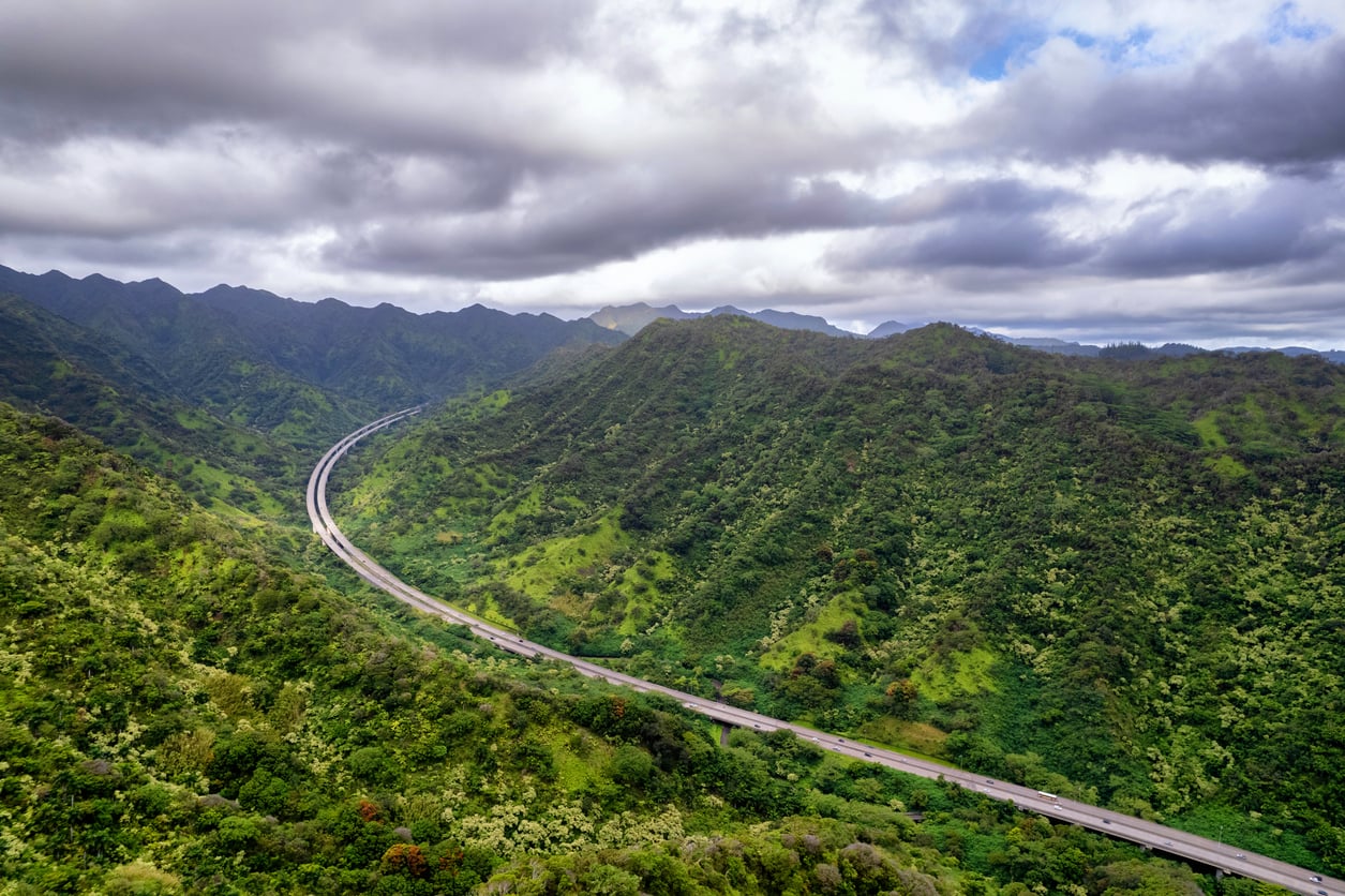
Seeing a sign for H-1, H-2, or H-3 in Hawaii can be confusing when the nearest mainland state is thousands of miles away. But an Interstate highway does not actually have to cross a state line. Hawaii’s routes are part of the federally designated Interstate System and were built to Interstate standards. H-3, completed in 1997, is especially memorable for its mountain scenery and tunnels. Alaska and Puerto Rico also have federally designated Interstate routes.
America’s Largest National Park Is About Six Yellowstones
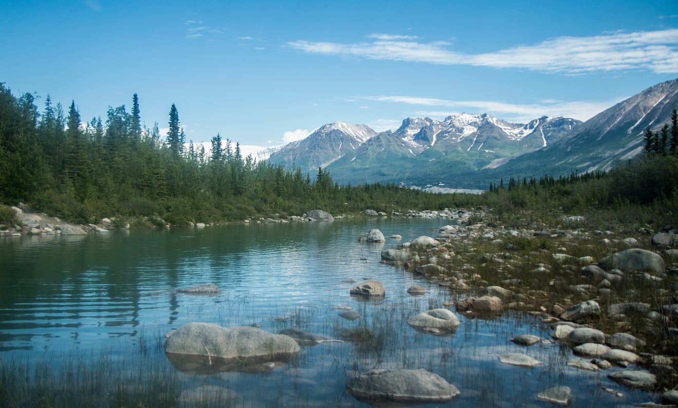
Wrangell-St. Elias National Park and Preserve in Alaska covers roughly 13.2 million acres, making it the country’s largest national park site. The National Park Service compares its size to about six Yellowstone National Parks put together. Four mountain ranges meet here, including nine of the 16 highest peaks in the United States. It is huge without being completely inaccessible: the Nabesna and McCarthy roads enter the park, although both are gravel and conditions can change quickly.
One National Park Has No Roads or Established Trails
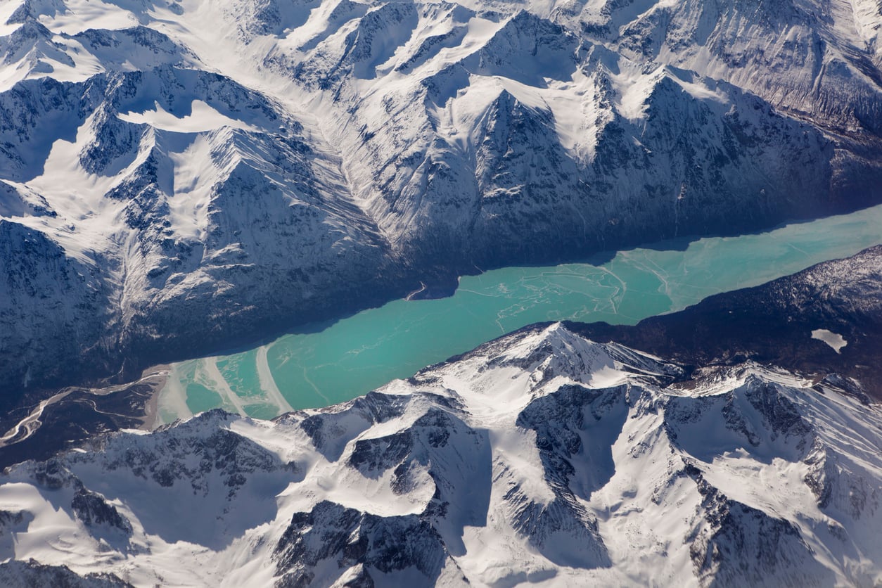
Gates of the Arctic National Park and Preserve is not the kind of national park where visitors drive up, grab a map, and follow a marked trail. No roads enter its 8.4 million acres, and there are no established trails or campsites. Most visitors arrive by small plane, while some experienced travelers hike in from remote access points. The terrain is so demanding that the National Park Service says experienced hikers may consider six miles a good day’s progress.
The Smallest National Park Is Only About 91 Acres
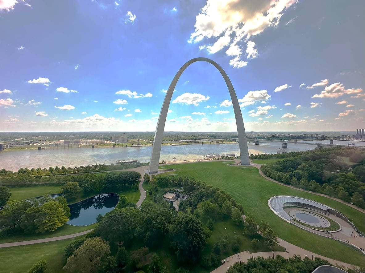
National parks do not all mean vast forests and mountain ranges. Gateway Arch National Park in downtown St. Louis covers only about 91 acres, making it the smallest site formally designated a National Park. The acreage includes the Arch grounds, Old Courthouse, and surrounding areas. There is an important technical distinction, though: it is not the smallest unit managed by the National Park Service. That title belongs to Philadelphia’s Thaddeus Kosciuszko National Memorial, at just 0.02 acre.
You Can Stand in Four States at Once
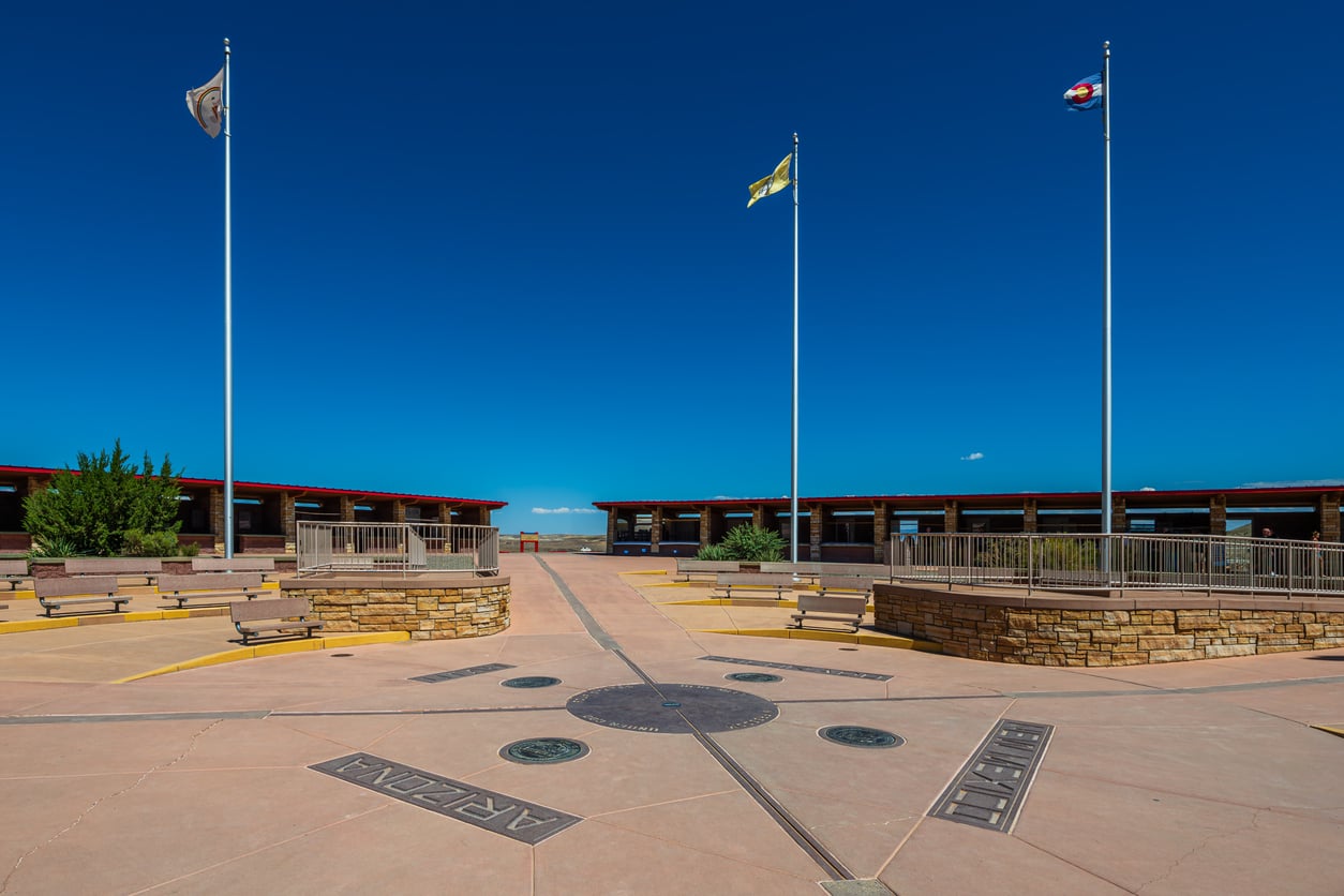
Four Corners Monument is the only place in the United States where four state boundaries meet at one point: Arizona, New Mexico, Utah, and Colorado. The Navajo Nation says the original cement marker was installed in 1912, with today’s more elaborate monument coming later. This is also not a National Park Service attraction. It is a Navajo Tribal Park, with seasonal operating hours and holiday closures, so travelers should check current information rather than assuming it is always accessible.
Trending on Cheapism


You Can Drive to the Lowest Point in North America
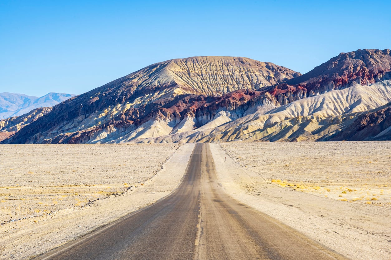
Badwater Basin in Death Valley sits 282 feet below sea level, making it the lowest point in North America. What makes the statistic especially unusual is how easy it is to see: a paved road and parking area bring visitors right to the salt flats. Nearby Telescope Peak rises to 11,049 feet, creating an enormous elevation contrast within the same park. Summer is another matter entirely. The NPS warns against low-elevation hiking during extreme heat and recommends staying close to paved roads and vehicles.
The World’s Tallest Mountain From Base to Summit Is in Hawaii
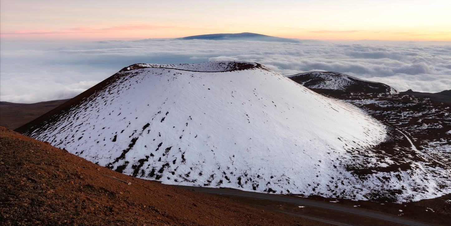
Mount Everest wins when mountains are ranked by elevation above sea level. Measure from the actual base of a mountain, however, and Hawaii’s Maunakea takes the title. The U.S. Geological Survey says it is the tallest mountain on Earth when measured from its base on the ocean floor, while its summit stands 13,803 feet above sea level. Visitors should remember that this is a high-altitude environment and a place of major spiritual significance to Native Hawaiians, not simply another scenic overlook.
America’s Deepest Lake Has No Rivers Flowing Into It
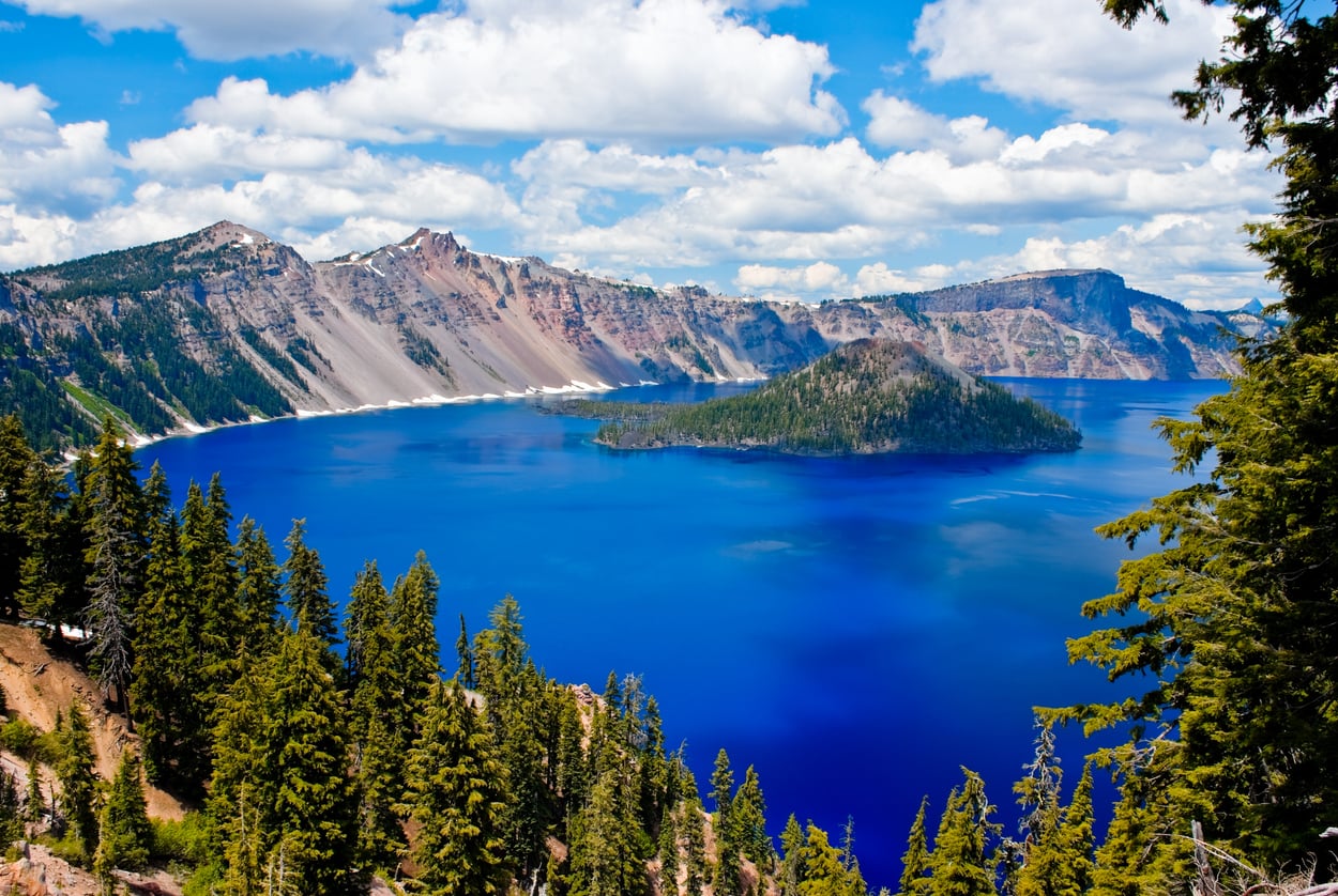
Oregon’s Crater Lake reaches roughly 1,943 feet deep, making it the deepest lake in the United States. It occupies the caldera left when Mount Mazama collapsed after a massive eruption about 7,700 years ago. No rivers or streams feed the lake; its water comes largely from rain and snow. Travel here can be surprisingly seasonal, too. Snow closes portions of Rim Drive for much of the year, and in 2026 the Cleetwood Cove Trail, normally the only legal route to the lakeshore, is closed for rehabilitation.
Sign up for our newsletter
Alaska Is Bigger Than Texas, California, and Montana Combined
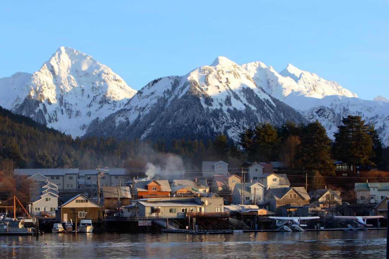
Maps can make Alaska’s scale difficult to grasp. Census Bureau figures put Alaska at about 571,022 square miles of land. Texas has roughly 261,268, California about 155,858, and Montana about 145,550. Add those three famously large states together and they still come up about 8,300 square miles short of Alaska. For travelers, that scale matters: an Alaska trip often works better when built around one region rather than trying to cover the state as though it were a conventional road trip.
The National Park System Reaches South of the Equator
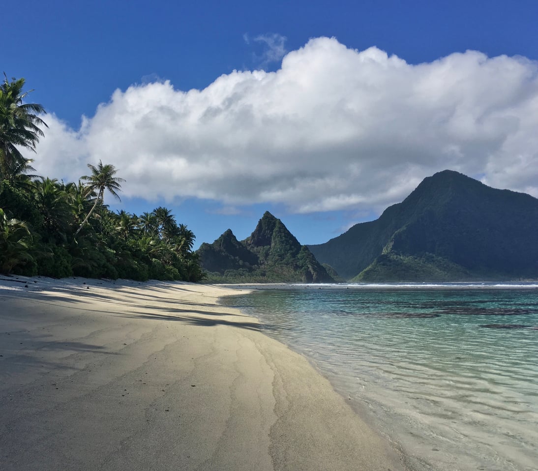
The National Park of American Samoa is the only U.S. national park south of the Equator. Spread across Tutuila, Ta’u, and Ofu, it protects tropical rainforest, mountains, coral reefs, and coastline roughly 2,600 miles from Hawaii. Getting there is part of the challenge. The NPS describes the park as one of America’s most remote and advises planning ahead because flights and inter-island transportation are limited and weather can disrupt schedules. Unlike many famous mainland parks, there is currently no general entrance fee.
Interstates Make Up Only About 1 Percent of U.S. Public Roads
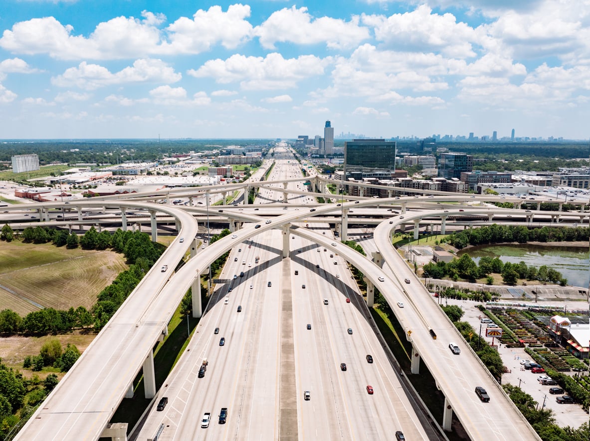
Interstates dominate many American road trips, but they make up a surprisingly tiny piece of the country’s pavement. The Federal Highway Administration’s 2026 figures put the Interstate System, including Puerto Rico, at 49,116 miles, or about 1 percent of all public-road mileage. Yet those roads carry roughly 26 percent of all U.S. vehicle travel and connect 46 of the 50 state capitals plus Washington, D.C. It is a reminder of how much of America sits beyond the exits most cross-country drivers use.
The Lewis and Clark Trail Now Runs Nearly 4,900 Miles
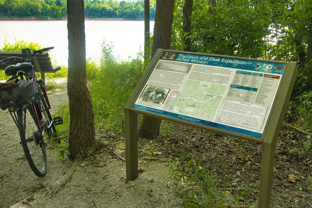
The Lewis and Clark National Historic Trail is much longer than many people realize. It stretches nearly 4,900 miles through 16 states, from Pittsburgh to the Pacific Coast near Astoria, Oregon. Congress added roughly 1,200 miles in 2019 to include the expedition’s preparatory journey east of the better-known route. It also crosses the homelands of more than 60 Tribal Nations. Fortunately, nobody has to hike all 4,900 miles: travelers can experience different sections by car, bicycle, foot, boat, or horseback.